One format for reality capture.
OPX is an open, spatially indexed and cloud-ready container for point clouds, imagery, GIS vectors, survey data, grids, metadata and future 3D Gaussian Splatting workflows.
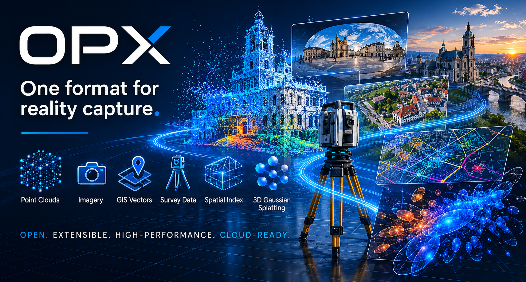
Reality capture has outgrown single-purpose formats.
OPX is designed to bring the complete capture context into one coherent architecture: scan data, imagery, georeferencing, vectors, survey control and future neural representations.
Unified container
Store point clouds, images, vectors, survey data, grids, metadata and extension blocks in a single versioned file.
Native processing
OPX is built for spatial queries, tiling, LOD, lazy loading and application-native processing — not just exchange.
Future-ready
The block model supports unknown optional block preservation and future representations such as 3D Gaussian Splatting.
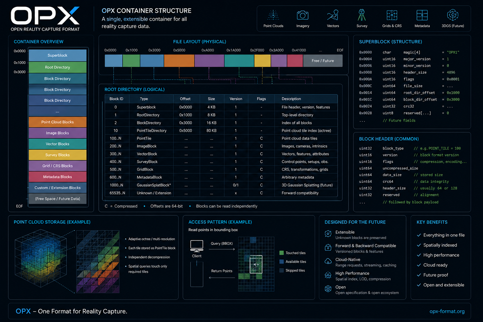
Clear structure, independent blocks, spatial access.
The OPX container starts with a Superblock and Root Directory. Every payload is a typed block with explicit versioning, alignment, validation and compatibility rules.
Developer preview foundation.
The current OPX 0.5.0 snapshot is an interoperability-focused development state. The reference implementation includes the core container, SDK, CLI tooling, LAS import/export workflows and an optional PDAL integration skeleton.
Data model
- Point tiles and attributes
- CRS and survey-grade precision
- Images, vectors, survey, grids
- Metadata and extensibility
Performance model
- Spatial index and bbox queries
- Fixed-grid and adaptive octree builder
- LOD summaries
- Range streaming and cache
Developer stack
- C++20 SDK
- CLI tools
- CMake package export
- Optional PDAL plugin skeleton
- Examples and documentation