OPX Overview
A unified open format for modern reality capture workflows — now positioned around the OPX 0.5.0 interoperability preview.
What OPX is
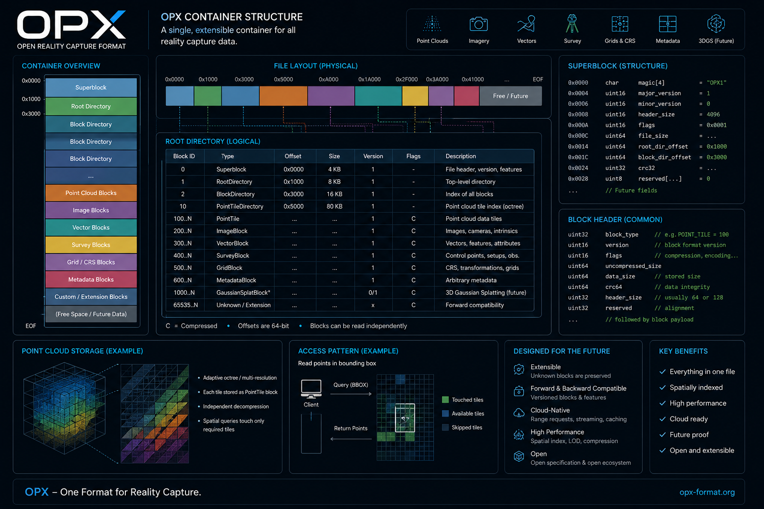
OPX is a block-based, spatially indexed container format and reference SDK designed for complete reality capture datasets. It combines high precision point cloud storage, imagery, GIS vectors, survey networks, geodetic grids, metadata and future data representations in one extensible architecture.
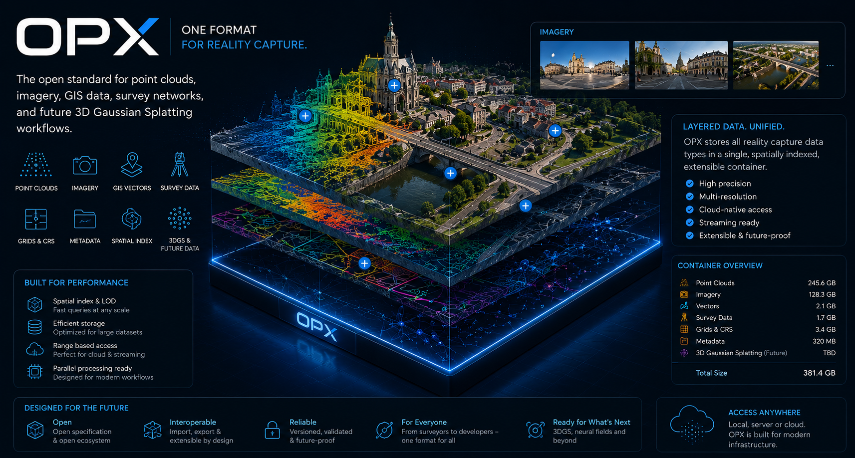
Designed around complete capture context.
Point clouds
Point tiles, extensible attribute schemas, classification, RGB, intensity, GPS time, spatial indexing, exact bbox queries and LAS import/export workflows.
Imagery
Panoramas, perspective images and orthophotos with camera pose, intrinsics, georeferencing and raw encoded image payloads.
GIS vectors
Line strings, polygons, multipolygons and text labels with feature attributes and links to point and image blocks.
Survey data
Control points, scan setups, observations, residuals, accuracy metadata and survey workflow context.
Grids and CRS
Coordinate reference information, geoid height grids, transformation definitions and micrometer-capable integer coordinate model.
IFC and future 3DGS
The architecture is prepared for viewer workflows that combine point clouds, GIS, survey context, IFC/BIM models and future 3D Gaussian Splatting scene representations.
Architecture in one view