Free OPX Project Viewer
A free first-entry application for opening OPX containers, inspecting their structure and viewing survey, GIS, point cloud and model data in one coherent project context.
Open an OPX file and understand the whole project.
The OPX Viewer (Reference Viewer) should make the format tangible for users who do not want to start with SDKs or command line tools. It is intended as a free, lightweight visual entry point for checking content, coordinate systems, metadata, project structure and interoperability results.
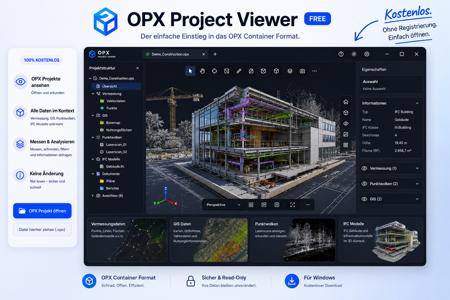
One viewer for the complete OPX container.
The first viewer concept focuses on trusted inspection and visualization, not editing.
Classic survey data
Control points, checkpoints, scan setups, observations, residuals, accuracy metadata and coordinate reference information.
GIS data
Vector layers such as lines, polygons, multipolygons, labels and feature attributes for project context and geospatial overlays.
Point clouds
Spatially indexed OPX point tiles with RGB, intensity, classification, GPS time and fast bounding-box based navigation.
Images and orthophotos
Panoramas, perspective images and orthophotos with camera pose, intrinsics, georeferencing and links back to point cloud tiles.
IFC/BIM models
Planned IFC model display for comparing design/BIM geometry against captured reality and survey control context.
Container diagnostics
Superblock, root directory, block list, payload versions, metadata, feature flags and compatibility warnings.
Designed as the first touchpoint for OPX.
Open and validate
Load an OPX file, validate its structure and show clear status messages for required, optional and unknown blocks.
Browse project layers
Toggle point clouds, survey control, GIS overlays, images, grids, metadata and IFC/BIM models from a project tree.
Inspect spatial context
Navigate by bounding boxes, tiles, LOD summaries, coordinate systems and object metadata without needing developer tools.
Prove interoperability
Use the OPX converter and LAS/E57 interoperability workflows to demonstrate round-trip compatibility with existing point cloud ecosystems.